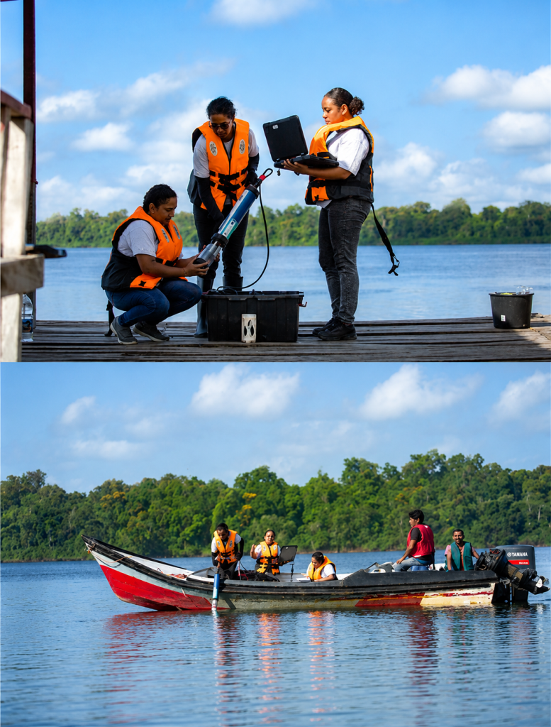
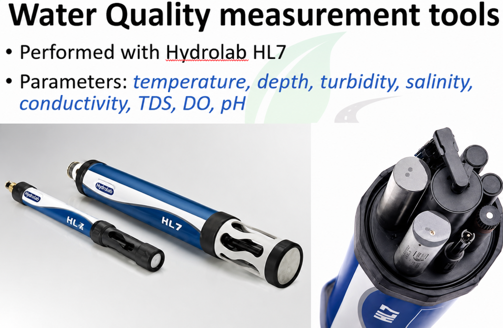
We collect water quality data from bridges, riverbanks, buckets and boats. The key parameters are temperature, pH, dissolved oxygen, conductivity, and turbidity. Our measurement process follows five steps: sensor check, field deployment, data collection, data verification, and finally equipment maintenance.
The impact? Better water quality monitoring, environmental protection, and early warnings when conditions change.
Water quality gives us insight into the health of our rivers and lakes. But we don’t stop there. We also measure water levels using fixed monitoring stations across the country. This data is essential for managing water, flood risks, and droughts. All of it goes directly into ArcGIS.
Locations Across Districts Where WLA Monitors Water Quality
Locations where WLA measures the water quality in Paramaribo
WQ Network
Water quality technical Report for Surface water resources in Suriname